REscan
A spatial-data product for rapidly digitizing and annotating large indoor environments from a human point of view.
The role statement defines my contribution boundary for this record. Client leaders, product partners, designers, artists, quality specialists, operators, and other engineers retain credit for their respective work; a project is described as independently built only when the supplied operating record supports that claim.
What The System Had To Solve
- Turn large physical interiors into useful digital representations without losing human-scale context.
- Support annotation and remote exploration as practical workflows, not only impressive visual output.
- Bridge data captured from the world with interfaces people and machines could use.
How I Approached It
- Centered the experience on navigating and understanding space from a human point of view.
- Treated annotation as part of the spatial model rather than a disconnected metadata layer.
- Connected 3D reconstruction to professional workflows and machine-readable context.
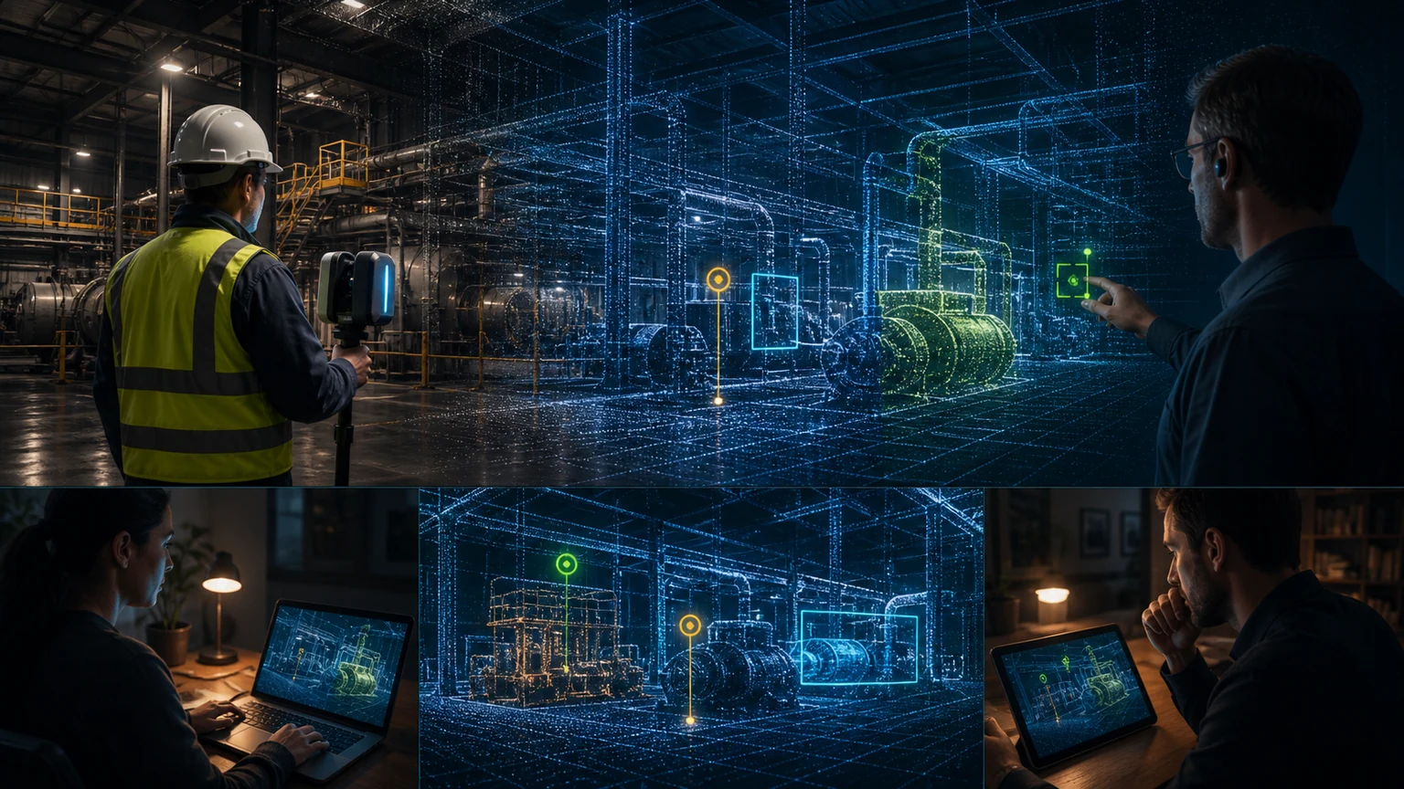
One operator captures a space; remote collaborators can inspect and annotate the resulting spatial twin.
What Changed
- The platform provided remote access to digital copies of distant indoor locations.
- Spatial annotation enhanced the usefulness of captured environments for professional workflows.
- The work explored how digital twins can support both human understanding and machine interpretation.
Outcome language is drawn from my project record. Where a number is not independently published, the wording identifies it as a portfolio-reported result.
What The Project Taught Me
Design the digital copy around the decisions it enables, not only the fidelity of the scan.
A model of the world becomes a product when people can orient, annotate, compare, and act through it.
Useful for digital twins, facilities, robotics context, remote inspection, and spatial knowledge systems.
What This Work Demonstrates
- Spatial data
- 3D visualization
- Digital twins
- Interactive tools